Mabrouk Consulting & Services — Tunis · Tunisia EN · FR · AR  ·  contact@mabrouk-cs.com
Mabrouk Consulting & Services
Start a project
Home About Us Competencies Services Contact Start a project
Hydroelectric dam
Home/Our Competencies
Two engineering practices

Renewable energy and oil & gas — one energy company.

Engineering projects across the full renewable portfolio, and subsurface-to-surface capability for conventional and unconventional oil & gas.

Renewable Energy Oil & Gas
Practice 01 — Renewable Energy

From resource to grid connection.

Feasibility, engineering and project development across the full renewable portfolio — with deep delivery experience in wind and solar PV.

WindSolar PVGeothermalHydraulicBiomass
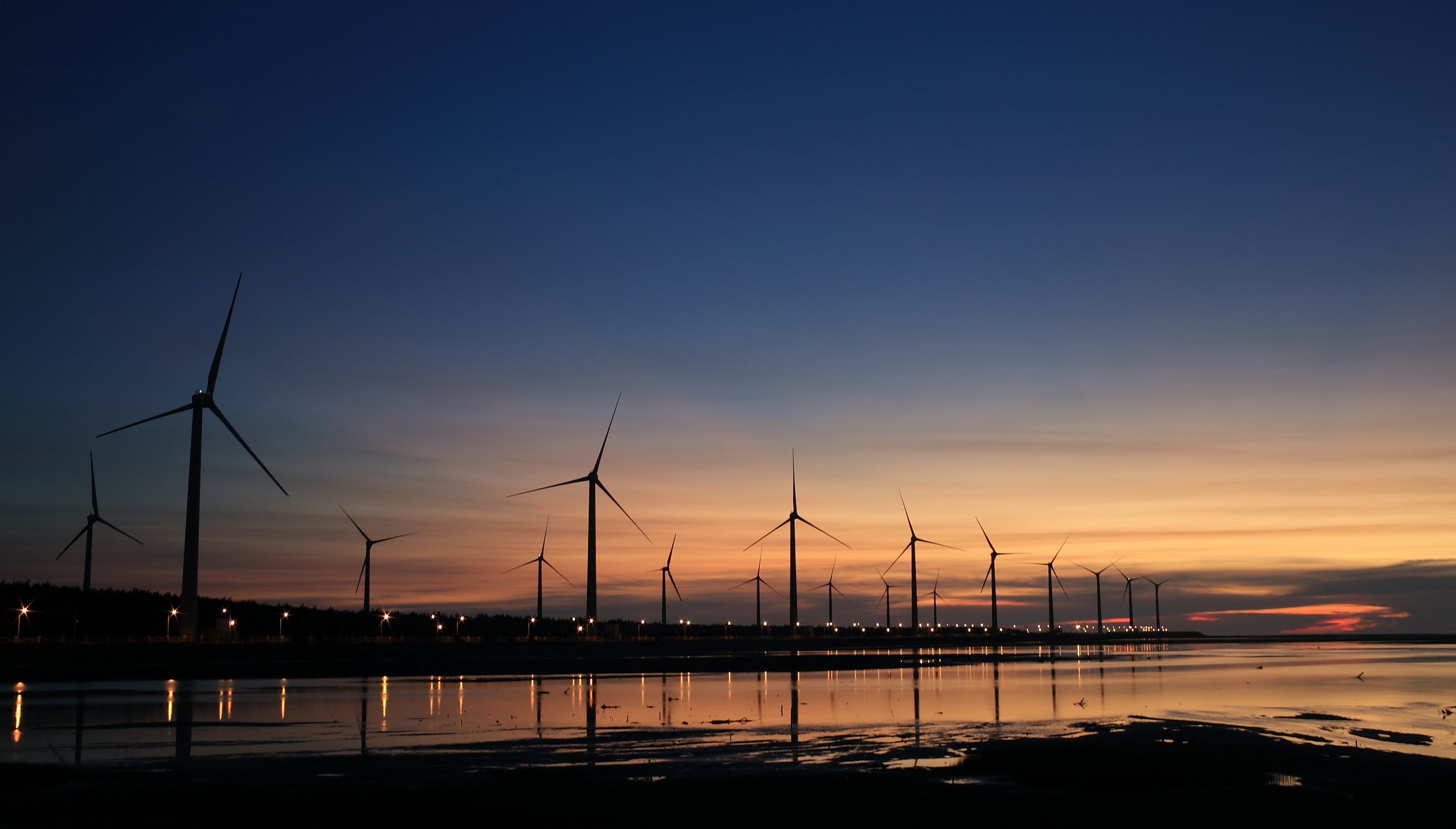
Wind farm at dusk
Wind farmResource → MW
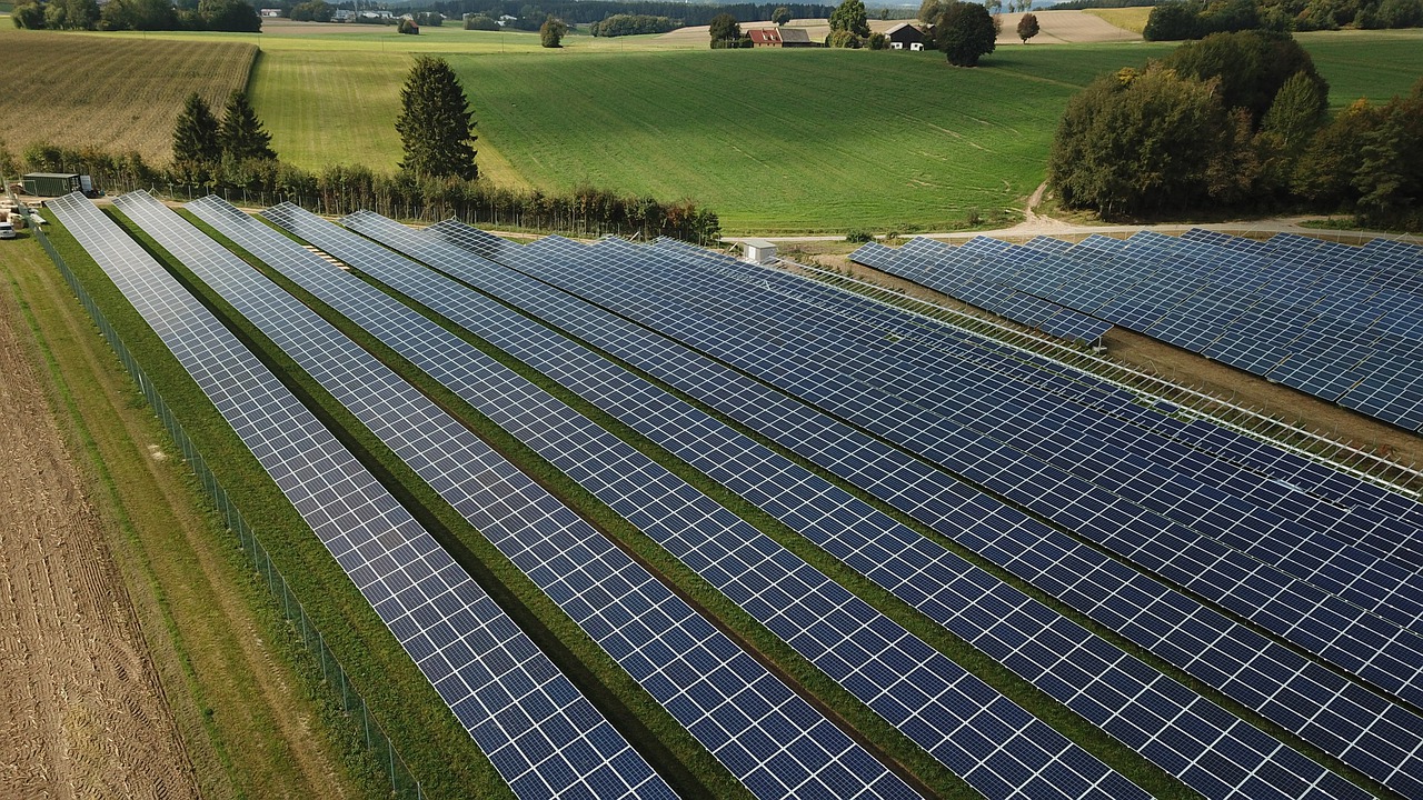
Utility-scale solar PV field
Utility-scale solar PVDesign · QC
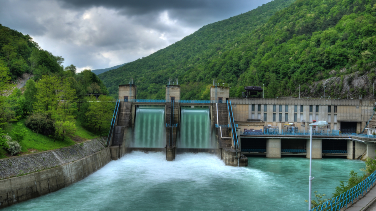
Hydroelectric dam
Hydraulic energyFeasibility
Wind

Wind farm projects

  • Wind resource measurement — procurement and installation of 100 m measurement masts; resource measurement and analysis.
  • Analysis of satellite wind data and preliminary assessment of wind potential.
  • Participation in national wind-atlas implementation with international fund donors.
  • Site assessment & micrositing — optimal wind-farm siting, plus permits from the aeronautical office and ministry of defense.
  • Cartography and topography studies (ArcGIS).
  • Wind-turbine technology assessment; cooperation with international manufacturers.
  • Feasibility studies for wind projects approved by international lenders (e.g. KfW).
  • Environmental & social impact studies; HV grid-connection studies.
  • Optimal wind-farm design using windPRO simulation.
Solar PV

Solar photovoltaic projects

  • Feasibility & planning — technical and economic studies for solar PV projects.
  • Solar resource and energy-yield evaluation and optimization (PVsyst simulation).
  • 2D & 3D plant layouts; LV/HV component sizing and electrical schematics.
  • HV grid-connection studies — power quality & harmonics, power flow & reactive power, short-circuit currents.
  • Environmental & social, geological and topographic studies.
  • Equipment reception and quality verification of PV modules; installation quality control.
  • Maintenance procedures and plant performance evaluation.
  • Generation permits and financial-closing assistance.
  • Dispatchable and off-grid design — hybrid systems (Wind/PV + Diesel + Storage); metering and monitoring solutions.
Tools · windPRO · WAsP · PVsyst · ArcGIS · SketchUp Ecosystem · International turbine manufacturers · Development banks
Practice 02 — Oil & Gas

Geoscience with compute behind it.

Exploration to production optimization, across onshore, shallow-water and deep-offshore contexts — mature and frontier basins, conventional and unconventional.

Exploration & AppraisalReservoirSeismicGeotechnicalGIS
Subsurface — Exploration & Appraisal

Exploration and appraisal

  • Regional-scale play evaluation in mature and immature basins — petroleum systems analysis, basin modelling, source-rock analysis & TOC.
  • Unconventional reservoirs: shale oil & gas, tight-oil studies.
  • Crude oil and natural gas analyses; reservoir geochemistry and continuity.
  • Prospect-scale evaluation — seismic interpretation, volumetrics & risk assessment, exploration and appraisal strategy design.
  • Pre-drilling preparation; post-drilling interpretation and reporting.
  • Integrated multidisciplinary studies: geological, geophysical, petrophysical, geochemical.
Subsurface — Development

Field development & production optimization

  • Reservoir characterization, modelling and simulation.
  • Production forecast and field development plan.
  • Production optimization and enhanced oil recovery.
  • Reserve calculation and asset valuation.
Surface — Investigation

Surface investigation

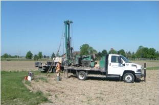
  • Site survey and geotechnical investigation for drilling, surface facilities and renewable construction — ground conditions, rock mechanical properties, engineering parameters, foundation options.
  • Hydrogeological site characterization — groundwater depth, pressure, salinity.
  • Environmental impact assessment — preliminary site assessment and operations impact assessment against applicable state regulations.
Seismic — Processing & Management

Seismic data processing & management

  • 2D / 3D land, TZ & marine seismic data processing — time and depth imaging.
  • Multi-survey pre-stack merging; WZ modelling and static-correction calculation.
  • Seismic and well data matching.
  • Seismic data management — reformatting, SPS file regeneration, geodetic homogenisation, field-data georeferencing.
  • GIS & mapping.
Processing resources
128
Quad-core calculation cluster
100
TB disk storage
Secure
High-capacity client link for QC & reporting
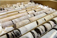
Core samples
Core analysis
Geotechnical drilling rig
Geotechnical survey

Scalable PMO organisation available for oil & gas programmes — see PMO & PMC services.

MC&S Digital

Add AI to either practice — seismic, siting, forecasting, maintenance.

AI & Digitalization Start a project